


Départ avant Sanissage, Commune de Brezons 15230 Brezons
Site with 5 waterfalls and 3 waymarked paths
Description
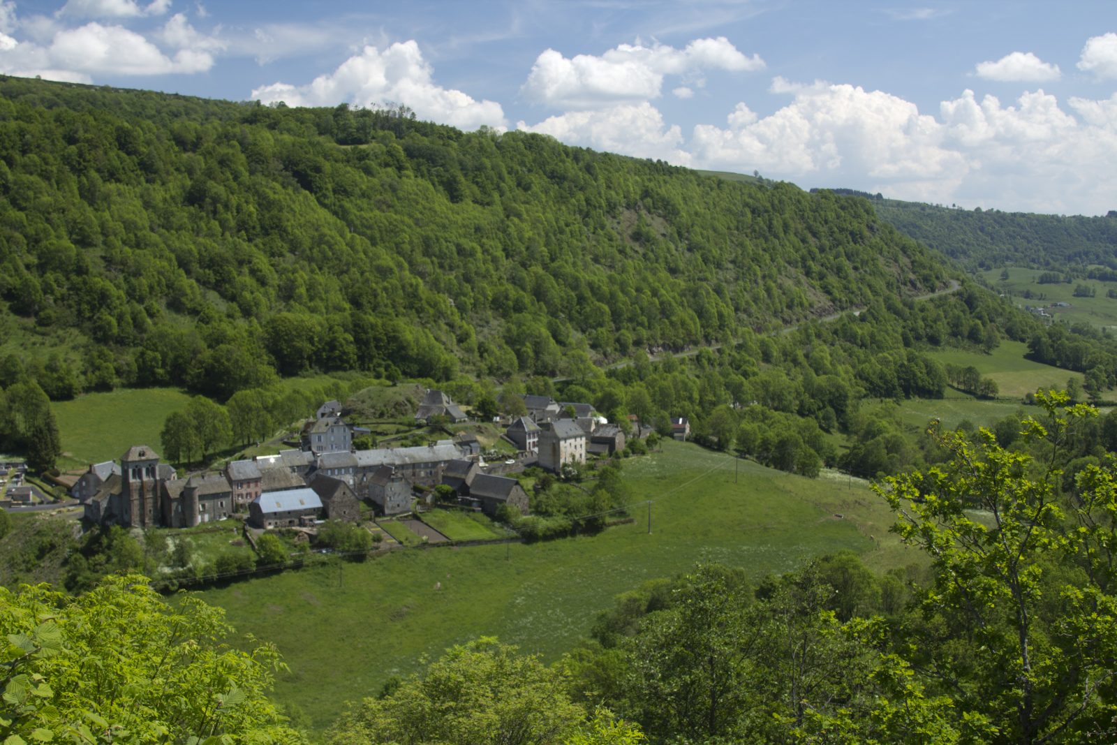
Site of the High Valley
Departure to 5 waterfalls and 3 waymarked trails
Waterfall Saut de la Truite: Way marked 600 m footpath, blue marking, 40 minutes return. A pituresque path leads between the low stone walls to the 28 m high waterfall. From 3 years.
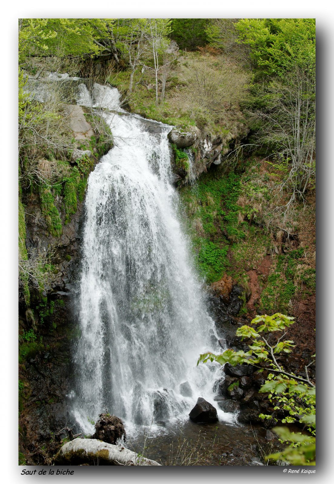
The Biche circular trail with 4 waterfalls: 1h30, blue marking. From 5 years.
The Circular trail of Grandval with 5 waterfalls: 3h30, yellow marking. From 7 years.
Starting point for all hikes after the village of Dolvadenche. Parking area.
2 picnic tables.
Not accessible for strollers.
Road between Le Bourguet and waterfalls impracticable for motorhomes. Take the waymarked footpath from Le Bourguet (parking, 45 minutes to the departure sign + 15 minutes to the first waterfall).
GPS parking Lustrande: 45.0113 - 2.7802.
Brochure of the Brezons Valley with its waterfalls and view points available in the tourist offices and in the reception center of Brezons (open in summer, touristic brochures, film on the Brezons Valley, exhibitions, several activities).
For the detailed tracings of all hikes: see also the category "randonnées" and "cascades".
Profile
- Altitude : 1070 m
Spoken languages
- French
Visits
- Marked trail
Languages documentation
- French
Individual visit
- Duration individual visit: 00 hours (average)
- Unguided individual tours available permanently
Group visite
- Duration of visit:00 hours (average)
- Unguided group tours available permanently
Benefits
Equipments
- Car park
- Picnic area
Opening
From 01/05 to 31/10.
Subject to favorable snow and weather conditions.